Select a Location

What is an isochrone?
[+]
Isochrones show areas that can be reached on transit within various travel times. In this map you can select a starting point and then compare how the current network and the draft next network affect your ability to reach different parts of the city in 30 minutes or less, 31 to 45 minutes, and 46 to 60 minutes.
Notes
[+]

Approximate travel times shown are for service provided at 8am or noon on a typical weekday. Change the time and day to see how travel times and service frequencies vary during peak hours and midday.

Commuter express routes are not shown. Not every segment of every route is shown. For example, some one-way loops at the end of a route are not shown completely.

Please refer to the network maps here for all route details: https://nextnetwork.vta.org.

Discover Your Access in the
Next Network Draft Plan

Transit Network

Layers

Morning Peak & Midday

[-]

Legend

Discover Your Access

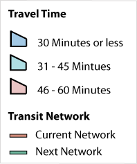
Use an address or the “Click a Place” tool to calculate travel times and see how each transit network affects access from your home, your work, your grocery store, or anywhere you want to go.

For background on the Next Network Draft Plan see nextnetwork.vta.org.